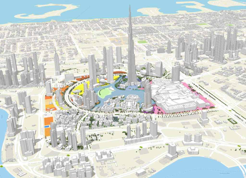
Dubai Digital Twin project

- Entered by: Dubai Municipality
- Main project stakeholders:
- Client: Dubai Municipality
- Other government entities: RTA, DEWA, Civil Defense, Dubai Police
The GIS Center in Dubai Municipality has started the Dubai digital twin project, which aims to provide a city-wide digital replica of the city in the form of two-dimensional and three-dimensional maps containing all assets, structures and features, starting from the macro level of the land parcels master plans and reaching down to the micro level of a building’s unit level details. It will also cover all the important features such as roads, trees, bridges, green areas and utility networks. This digital replica provides all the information needed to plan and manage the emirate and allows the government to provide smart services effectively, especially after integrating it with Internet of Things (IoT) technologies and real-time information. The digital twin is created using multiple technologies and data sources, such as CAD drawings and BIM models, in addition to point cloud data and mesh models generated using Lidar devices and unmanned aerial vehicles. DubaiHere was developed by the GIS Center and is used as a one-stop-shop platform that enables government employees to access and query the digital twin information. Many government entities are using DubaiHere and the Dubai digital twin information to plan activates, test scenarios, design projects, get statistics, and provides smart services.


