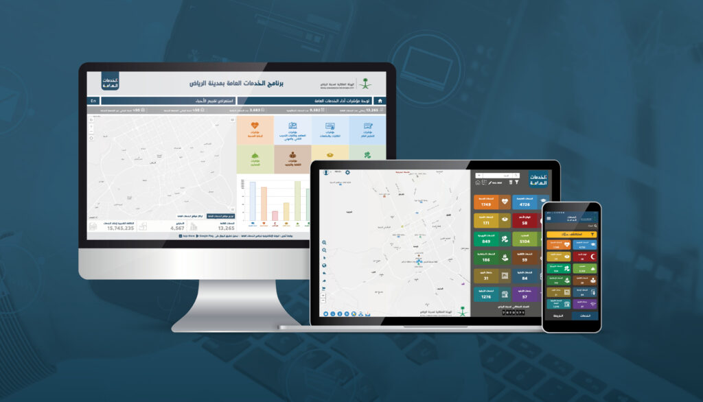
Riyadh Public Services Program

Entered by: Khatib & Alami
The aim of this large-scale digital project was to establish a single spatial intelligence and data management platform for all public services in the rapidly growing city of Riyadh. This is a vital resource for government entities, decision-makers, and planners, enabling them to make fully-informed decisions by modelling and analysing geographic accessibility to public service facilities.
Choosing the best location for service facilities (everything from schools and hospitals to parks and shopping centres) is essential for ensuring that population groups have easy access to their basic needs. The Riyadh Public Services Program benefits from a range of geospatial mapping tools which provide clear visibility and understanding of all public services. Ultimately, this is enabling the achievement of equity in social infrastructure planning across the city in order to raise standards of living, improve the performance of government institutions and enhance the quality of public services in line with Saudi Vision 2030 and the 2030 Agenda for Sustainable Development.


